A ridge trail can feel calm right up until your phone drops to one bar, then SOS, then nothing. The hard question is whether dog GPS trackers without cell service can still help when your dog bolts after a deer, slips a harness at the trailhead, or disappears around a switchback.
The reassuring answer is that preparation matters more than panic. A tracker can be a useful recovery tool on remote hikes, but only if you understand what kind of signal it uses, what happens when coverage disappears, and what backup steps you already have in place before your dog is out of sight.
At a glance
- GPS and cellular are not the same thing. GPS helps determine location; cellular service is often what sends that location to your phone.
- Many app-based trackers may stop updating in areas with no cell coverage and then resume when service returns.
- Radio-based handheld systems can work without phone service, but they still have range, terrain, battery, and line-of-sight limits.
- Bluetooth item tags are not true GPS trackers and are usually a weak primary choice for remote hiking recovery.
- Your best no-service plan combines a prepared tracker, offline trail habits, secure collar fit, visible ID, and a trained recall routine.
Know what your tracker actually depends on
The most important prep step happens before you pack the leash: identify the tracking method. A dog tracker can use satellite positioning to calculate location, but that does not automatically mean the location will appear on your phone in real time. Many consumer dog trackers rely on cellular networks to send updates from the collar or device to an app.
That distinction matters on US hikes where coverage changes quickly. A parking lot may have service, the first mile may be patchy, and the valley beyond the ridge may have none. If your tracker is cellular-based, treat the last app update as a clue, not a guarantee of the dog’s current position.
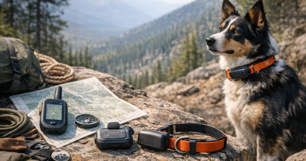
Radio-based dog tracking systems use a handheld receiver instead of depending on your phone’s cellular connection. They can be more appropriate for remote land, hunting routes, or big rural properties, but they are still not magic. Hills, dense cover, distance, device setup, and batteries can all affect how useful the system is in the moment. If you are researching that style of setup, the Garmin Alpha 100 page is a useful example of a handheld tracking approach to understand before a remote trip.
Step 1: Check the map before you check the battery
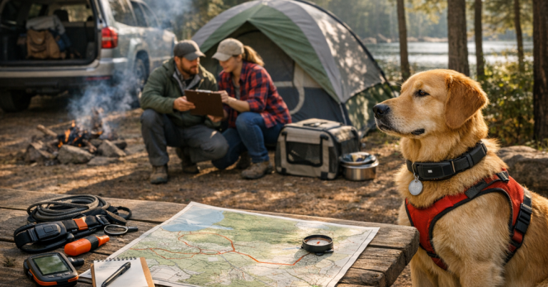
Start with the route, not the device. Look at the trailhead, ridgelines, water crossings, road access points, campgrounds, and nearby neighborhoods. The tracker is only one part of the recovery plan; the landscape decides how quickly a loose dog can become hard to see, hear, or reach.
Before leaving home, open your carrier’s coverage map and compare it with the hike area. Do not treat that map as a promise. Terrain, tree cover, weather, and local network conditions can still change what happens on the trail, but the map gives you a reasonable expectation of where app updates may weaken.
If your tracker app offers map caching, trip planning, offline maps, or saved locations, set those up while you still have Wi-Fi or strong service. Do not assume every tracker app provides the same offline tools. Check the app’s current settings and help documentation for your specific device, because features can vary by model, account status, and app version.
Step 2: Charge, sync, and inspect everything the night before
Remote hikes punish small oversights. A tracker that worked fine in the backyard can become frustrating if it starts the day half charged, unpaired, loose on the collar, or still sitting in battery-saving mode from daily use.
- Fully charge the tracker, handheld receiver, phone, and any portable power bank you plan to carry.
- Open the app or handheld unit at home and confirm the tracker is reporting normally.
- Check that the device is attached firmly to the collar or harness and cannot rotate into a spot that rubs.
- Review notification settings so you know which alerts will matter on trail and which ones may distract you.
- Confirm any subscription, account access, or device activation required for normal operation before you lose service.
- Clean the charging contacts and dry the device if it has been used in rain, mud, snow, or lake water.
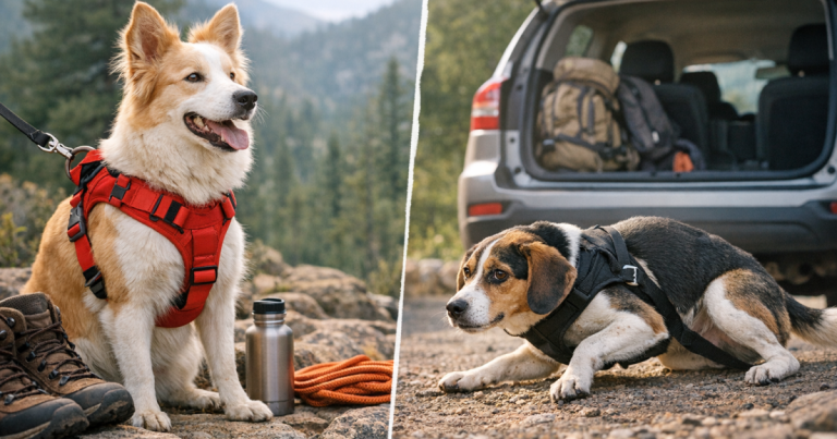
For small dogs, pay special attention to weight, bulk, and collar placement. A tracker that sits comfortably on a 70-pound dog may pull awkwardly on a narrow collar or bump the ground when a short-legged dog lowers its head. For deep-chested or strong dogs, the issue is more often collar security and whether the attachment can handle brush, rolling, or hard pulling.
Step 3: Set locations that make sense for a trail, not a backyard
Safe zones can be helpful at home, but hiking creates different geometry. A trailhead, campsite, cabin, or parking area is not the same as a fenced yard. GPS drift, patchy service, and irregular boundaries can cause delayed or confusing alerts if the zone is too tight or placed casually.
Before a trip, create only the zones that will help you act faster. A parking lot zone may remind you if your dog slips out during unloading. A campsite zone may help if your dog wanders from a tent area. Avoid cluttering the app with too many temporary alerts, because alert fatigue is real when you are also managing water, weather, footing, and other hikers.
For a deeper setup process, use the steps in setting reliable safe zones on a dog tracker before you adapt those ideas to a trailhead or campsite. The key is to test the boundary while you are calm, not after your dog has already crossed it.
Step 4: Run a no-service rehearsal close to home
You do not need a wilderness emergency to learn how your tracker behaves without a clean network connection. Choose a low-risk place where reception is weak or inconsistent, keep your dog leashed, and watch what the device does as you move through the area.
- Note whether the app shows live movement, delayed updates, or only the last known location.
- Watch how long it takes the device to reconnect after service returns.
- Practice saving or screenshotting the last known location before it changes.
- Check whether your phone’s map still shows roads, trails, and terrain when data is unavailable.
- Make sure every adult on the hike knows which app, handheld, or contact person is responsible for tracking.
This rehearsal is less about testing a brand’s marketing claim and more about training yourself. In a real scare, the first minute is often messy: someone is calling the dog, someone is grabbing the leash, and someone is staring at a spinning app. Familiarity lowers the chance that you waste time tapping through menus.
Step 5: Build a backup ID layer
A tracker helps you search. Identification helps other people help you. On no-service hikes, that distinction matters because a camper, ranger, local resident, or other hiker may find your dog before your tracker updates again.
Use a collar ID tag with a current phone number, and consider adding a secondary contact if you are hiking with someone whose phone may have better coverage on a different carrier. If your dog wears a harness on trail, keep ID on the collar as well, because harnesses can be removed after a rescue or slip during a struggle.
Write down your dog’s microchip number and the chip company’s contact details somewhere accessible offline. You do not need to carry a folder of paperwork, but you should not have to rely on a cloud note that will not load at the trailhead.
Step 6: Adjust your trail routine before the risky moments
Most hiking escapes are not dramatic cliff-edge movie scenes. They happen during ordinary transitions: opening the car door, unclipping for a photo, stopping at a viewpoint, passing another dog, setting up camp, or crossing from forest to road.
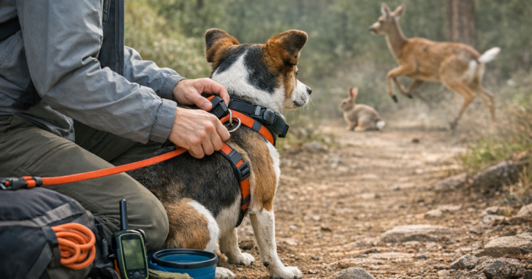
Before each transition, pause and make the dog easier to manage. Clip the leash before opening the hatch. Hold the line before stepping onto a bridge. Move away from the parking lot edge before checking the app. If your dog is a fence-jumper, door-dasher, scent-chaser, or newly adopted rescue, assume the trail will amplify that behavior rather than cure it.
For off-leash areas, a tracker should never be the first layer of control. A strong emergency cue gives you a chance to stop the run before it becomes a search. If that cue is not solid yet, practice with the structured steps in teaching an emergency recall before off-leash walks and keep the leash or long line on for hikes where the environment is too tempting.
Step 7: Know what to do if the signal disappears
If your dog vanishes and the tracker stops updating, slow the situation down. Running randomly through the woods can spread scent, split your group, and make it harder to return to the most useful point: where the dog was last confirmed.
- Mark the last known tracker point and the last visual sighting as two separate pieces of information.
- Have one person stay near the last sighting area if it is safe, calm, and legal to do so.
- Check roads, trail junctions, water sources, and campgrounds first, because loose dogs often follow easy movement corridors.
- Call in a normal voice at intervals rather than shouting continuously, which can sound frantic to some dogs.
- When service returns, refresh the tracker app and compare the new point with the old one before changing direction.
- Notify local trail staff, campground hosts, nearby hikers, or park contacts when available, using a clear description and your phone number.
If your dog is fearful, do not assume they will come to every stranger who calls. Give helpers simple instructions: do not chase, report the location, and take a photo if possible. A skittish dog can move farther when well-meaning people rush toward them.
Common questions
Will a cellular dog tracker show live location with no service?
Usually, no. A cellular tracker may still determine location internally, but it often needs a cellular connection to send that location to your phone. In dead zones, you may only see the last update until coverage returns.
Is a Bluetooth tag enough for backcountry hiking?
A Bluetooth tag can be a backup ID clue in populated areas, but it is not a true GPS dog tracker. In remote places with few nearby phones or compatible devices, it should not be your primary recovery tool.
Should I turn on every alert before a hike?
No. Use alerts that help you act, such as a trailhead or campsite boundary if your tracker supports it. Too many notifications can make it harder to notice the one that matters.
What should I save before leaving coverage?
Save the trailhead location, route map, emergency contacts, lodging or campsite details, your dog’s photo, microchip details, and the tracker’s last normal location. Keep the essentials available offline.
Can a tracker replace a leash on remote trails?
No. A tracker is a recovery aid, not a restraint. Leashes, long lines, recall training, secure collar fit, and calm transition routines reduce the chance that you need the tracker in the first place.
Final thoughts
A no-service hike does not make a dog tracker useless, but it changes what you should expect from it. The safest mindset is to treat the tracker as one tool in a layered plan: useful for clues, limited by signal and terrain, and strongest when paired with prevention.
Before your next remote trail day, test the device, save the maps, secure the collar, update the ID, and decide who watches the tracker if something goes wrong. That quiet prep turns a scary unknown into a practiced routine, which is exactly what you want when the woods get quiet and your phone has no bars.